District Plan Maps
Select an image to see an enlarged view of it. This allows you to work out the map that relates to your location.
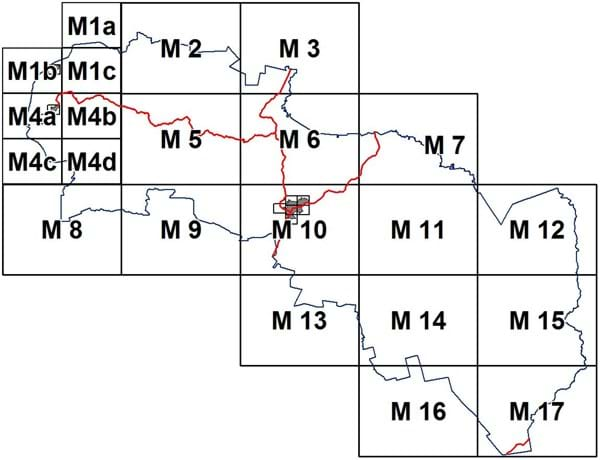
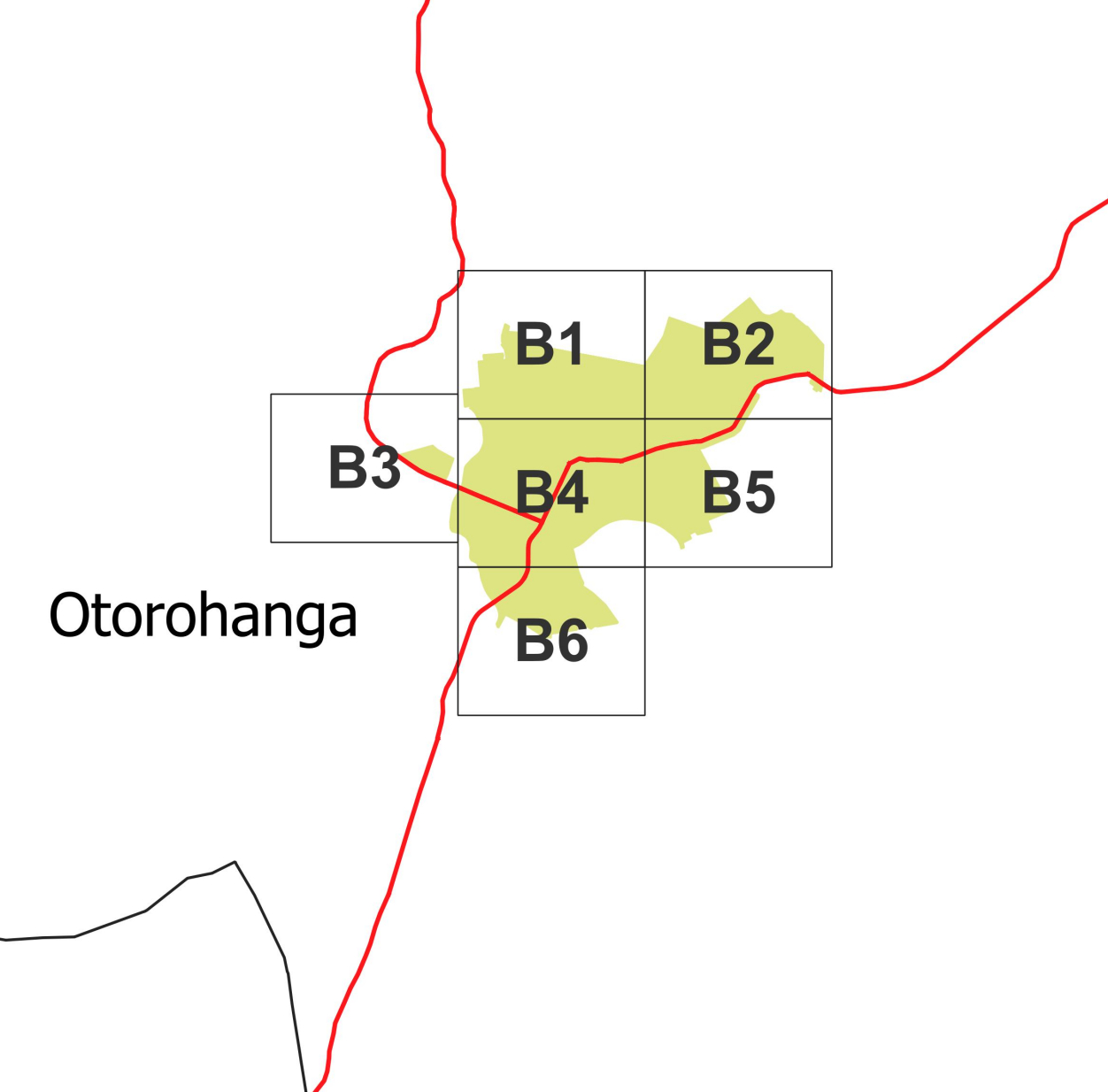
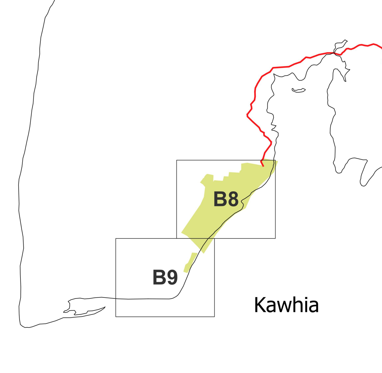
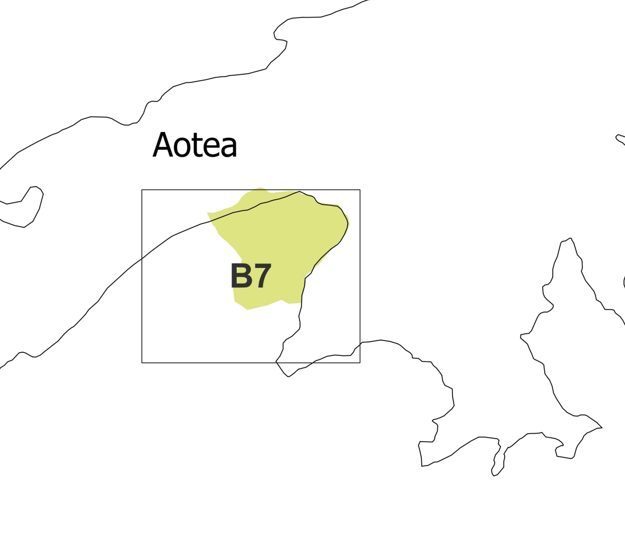
District Plan
District Plan - Rural Maps
Countryside Living Map 1 - Kawhia
pdf | 404 KBCountryside Living Map 1 - Ōtorohanga
pdf | 790 KBLegend for Maps
pdf | 837 KBMap M1a
pdf | 270 KBMap M1b
pdf | 574 KBMap M1c
pdf | 951 KBMap M2
pdf | 538 KBMap M3
pdf | 396 KBMap M4a
pdf | 450 KBMap M4b
pdf | 884 KBMap M4c
pdf | 306 KBMap M4d
pdf | 1 MBMap M5
pdf | 1.1 MBMap M6
pdf | 958 KBMap M7
pdf | 920 KBMap M8
pdf | 350 KBMap M9
pdf | 350 KBMap M10
pdf | 1.2 MBMap M11
pdf | 1.3 MBMap M12
pdf | 630 KBMap M13
pdf | 296 KBMap M14
pdf | 847 KBMap M15
pdf | 727 KBMap M16
pdf | 286 KBMap M17
pdf | 558 KBDistrict Plan - Urban Maps
Enquiries
For any enquiries please contact Council.
Planning Legislation Changes and Fast Track Applications
Central Government are undertaking a comprehensive programme of planning system reform. You can find links to the latest updates on this page:
Fast track applications: www.fasttrack.govt.nz
RMA reform: https://environment.govt.nz/oia-releases/rma-reform/
National direction: https://environment.govt.nz/acts-and-regulations/acts/national-direction/